FIG President Stig Enemark attends the XXI ISPRS Congress
and the Annual Meeting of the Joint Board for Geospatial Information
Societies
Beijing, China, 3 – 11 July 2008
|
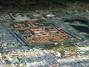
Beijing City Centre with the Forbidden City and Tiananmen Square
(top left). |
FIG President Stig Enemark attended the XXI ISPRS Congress (The
International Society for Photogrammetry and Remote Sensing) and the Annual
meeting of the Joint Board for Geospatial Societies (JB-GIS) in Beijing,
China P. R., 3-11 July 2008.
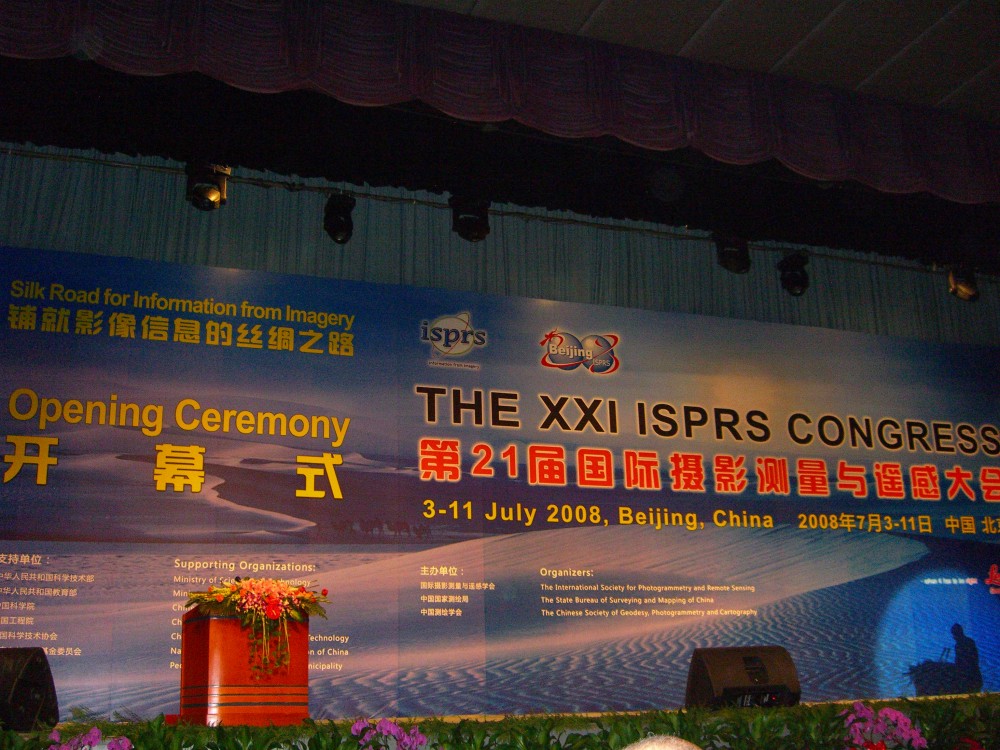
The theme of the congress was “Silk Road for Information from Imagery”.
This symbolizes the transfer from the last ISPRS congress in Istanbul, 2004
to Beijing in 2008 following the Silk Road used by traders since 200BC. It
also recognises the global aspects of the congress in terms of bringing
nations and cultures together.
The program of the Congress was overwhelming in terms of number of
sessions and presentations etc. The full program is available at
http://www.isprs2008-beijing.org/.
The conference was organised by the State Bureau of Surveying and Mapping
in China and sponsored by the Chinese Society of Geodesy, Photogrammetry and
Cartography (who is the Chinese member of FIG).
The opening ceremony included an opening address from the president of
the Chinese Society of Geodesy, Photogrammetry and Cartography Prof. Yang
Kai; followed by the welcome address by the Vice Minister of Ministry of
Land and Resources, Director General of the State Bureau of Surveying and
Mapping Mr. Lu Xinshe; and finally the welcome address by the ISPRS
President Prof. Ian Dowman.
President Dowman of course recognized the recent earthquake in Wenchuan
that has also demonstrated the immense importance of photogrammetry and
remote sensing in disaster risk management. Geospatial information has
become a key component of prediction, emergency response and recovery.
Satellite data and GIS technology has been used to very good effect in
China, proving invaluable to decision makers and workers on the ground.
The Congress included three plenary sessions, a range of workshops,
poster sessions, and more than 150 technical sessions. At the second plenary
session President Enemark presented a keynote entitled Capacity Building for
Land Governance in Support of the Global Agenda. This was followed by a
presentation of Prof. Mike Jackson (UK) on “Building SDI –
Research Drivers and Challenges for the GI Community".
President Enemark also chaired and gave an introductory presentation at a
following special session on Education and Capacity Building in Geomatics
with presentations from Gottfried Konecny (Germany), William
Cartwright (Australia) and Sjaak J. J. Beerens (Netherlands).
This session was very lively and well attended.
|
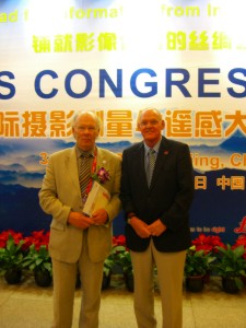
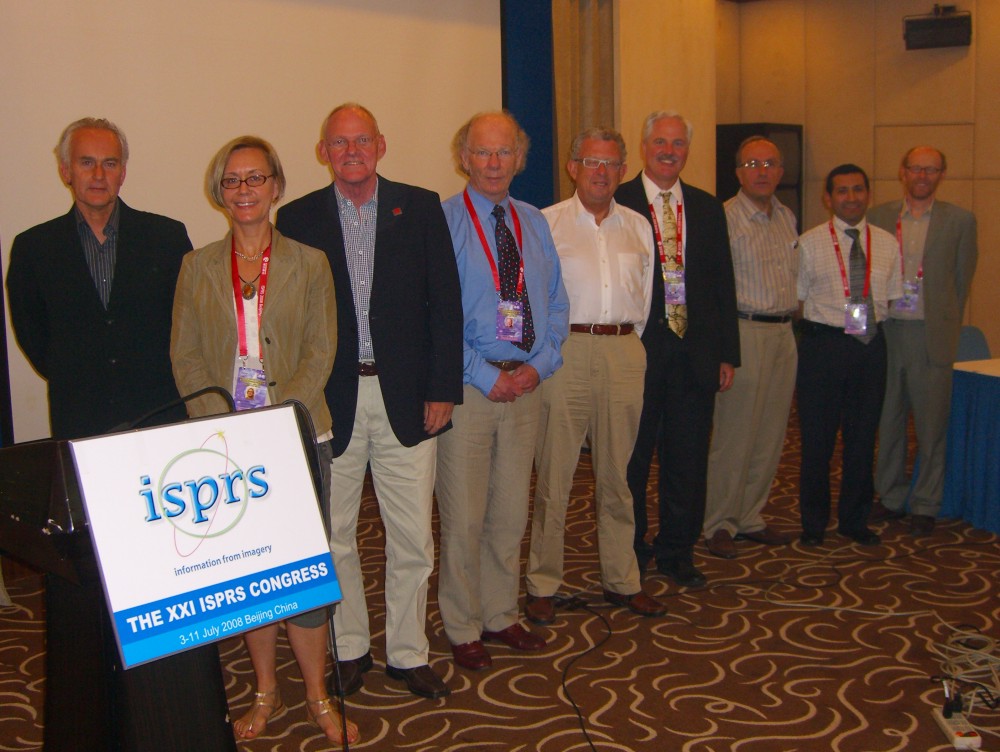
The President of ISPRS Prof. Ian Dowman (UK) and FIG
President Prof. Stig Enemark (DK). |
The Congress adopted a “Beijing Declaration” that, among other
issues, called for support from international communities
- to commit adequate investment and active engagement in scientific
research and development, education and training, and capacity and
infrastructure building
- to promote the sharing of imagery technology and data for scientific
research and peaceful applications; and
- to encourage constructive dialogue and close cooperation and
collaboration between scientists, governments, public and private
sectors, non-governmental organizations, and international organizations
and institutions.
The Congress further calls for a contribution from everyone to establish
and operate a new silk road for imagery, leading to a people-centered and
development-oriented society.
More information
JBGIS Meeting
The meeting of the Joint Board of Geospatial Information Societies
included some fruitful information on current activities and discussions on
future cooperation and collaboration between the organizations. A key issue
is about development of the Geographic Information knowledge Network (GIK
Network) that is a huge common project led by GSDI to serve the global
geographic information community at large. The goal of this facility is to
enhance communications and sharing among geospatial specialists and
organisations from all nations. The prototype is available at
http://geodatacommons.umaine.edu
but will soon be moved to http://giknetwork.org. Another key project is about establishing an ad
hoc committee on Risk and Disaster Management.
|

Member of the JBGIS: Prof.
William Cartwright (Australia),
President of ICA; Dr. Dorota A. Grejner-Brzezinska (USA),
IAG; Prof. Stig Enemark (DK), President of FIG; Prof. Ian
Dowman (UK), President of ISPRS; Mr. Bas Kok (NL),
President of GSDI; Mr. Mark Cygan (IMTA); Dr. Orhan Altan
(Turkey), Secretary General and Incoming President of ISPRS; Mr. Rodrigo Barriga Vargas (Chile), Observer from PAIGH; Dr.
David Fairbairn (UK), Secretary General of ICA.
|
More information
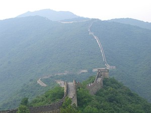
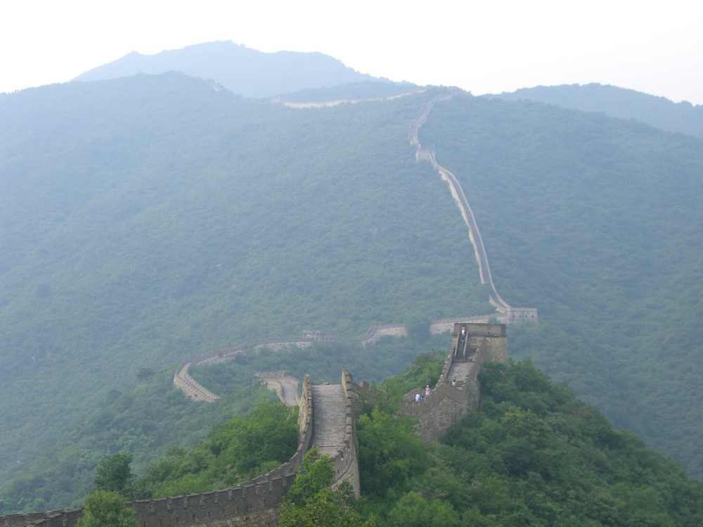
The scenery at the Great Wall is breathtaking.
|
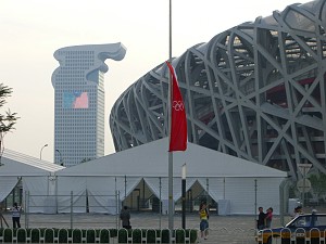
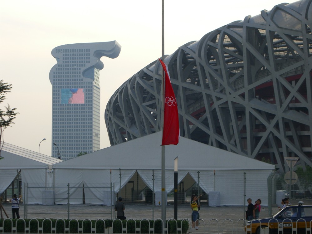
The Conference Centre is located just next to Olympic Arena with the
stadium called the “bird nest”. |
|